
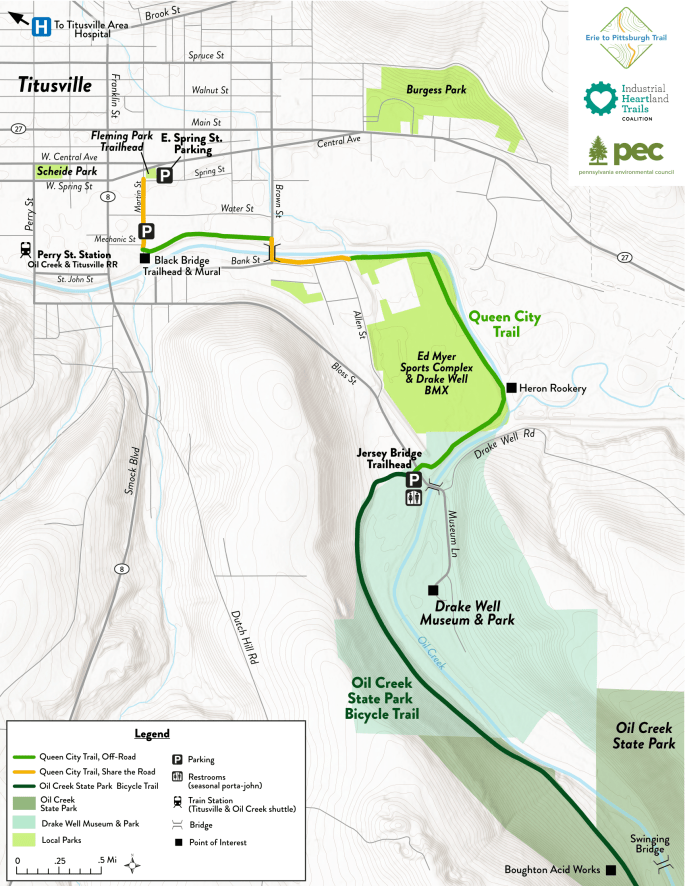
The Queen City Trail (QCT) is an asphalt trail owned by the City of Titusville. Started by Titusville Leisure Services as an exercise trail in 1982, it spans 1.5 miles with termini in the City of Titusville and Oil Creek Township, Venango County. A portion of the trail along Brown and Bank Streets includes share the road, with the majority of its length running behind Titusville Middle School and the Ed Myer Complex.
Titusville is the home of the first commercial oil well, drilled in 1859. At the QCT’s Southeastern Trailhead, you can hop on the Oil Creek State Park Trail, a 9.7-mile portion of the Erie to Pittsburgh Trail.
With views of Oil Creek, greenways, and active rail lines, the QCT will carry you into downtown Titusville, where you can explore local breweries, take in a concert, and grab a bite to eat, or visit Drake Well Museum and Park, one of Pennsylvania’s 24 state-run historic sites and museums.
Use the button below to download a printable PDF version of the QCT map on the right.

QCT Goals & Expansion
While the QCT is picturesque and enjoyable in its current state, a larger goal is to expand and connect it to larger portions of the Erie to Pittsburgh Trail (EPT) to create a continuous 270-mile corridor between the two major Western Pennsylvania cities.
The QCT’s nearest neighbors include the East Branch Trail, Oil Creek State Park Bike Trail, and McClintock Trail. More about these nearby trails can be explored on the EPT website.

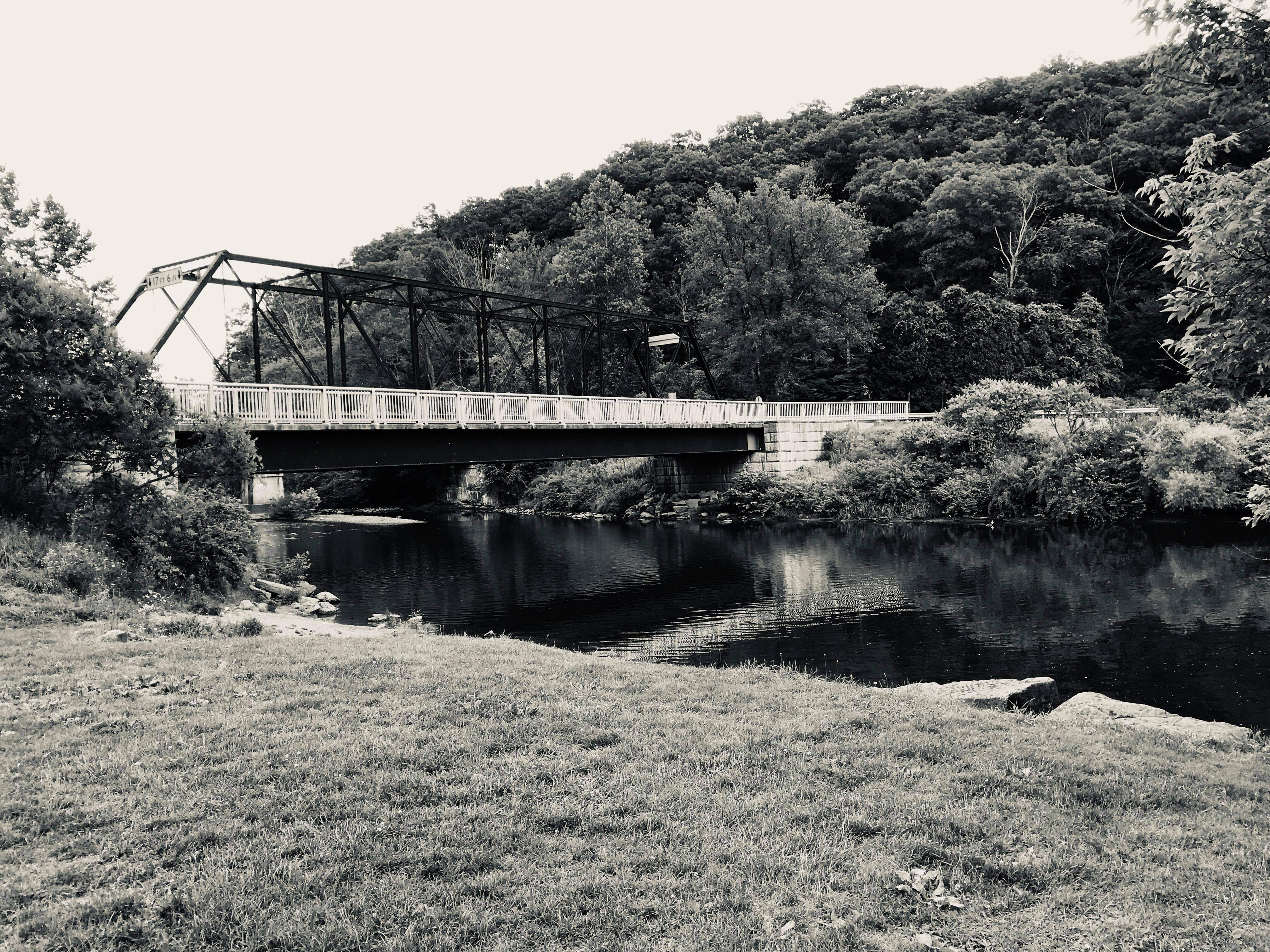


Photos by Walter Pilewski (1), Samantha Thieme (2), & Kim Harris (3,4).
